
Highlights
June 2025 – Website under development / Site web en cours de développement
2025-2030 Geomatics Accord (new)
2025-2030 Terms of Reference (new)
*NEW* 2025/26 Task Team and Working Group Work Plans / Plans de travail des équipes spéciales et des groupes de travail 2025/26
DRAFT CCOG Workplan for TT-WG-Dec20_2024_ENG
DRAFT CCOG Workplan for TT-WG-Dec20_2024_FR
*NEW* 2024 AGM Thematic Jurisdictional Report / 2024 AGA Rapport thématique des juridictions
Thematic Findings from AGM Jurisdictional Reports 2024 (VALIDATED) ENG Final
Thematic Findings from AGM Jurisdictional Reports 2024 (VALIDATED) FR Final
Who We Are
Council members come from the governments of Canada, the provinces and the territories. Council members usually represent their government’s major geomatics organizations. The council’s key objective is to advance geomatics activities between jurisdictions.
Vision
Our vision is that Canadians and governments can access the best available geographic information to support informed decision making through interoperable systems and data that are maintained in an efficient and effective manner by all Canadian jurisdictions.
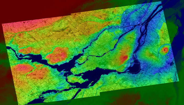
Photo Credit
La Tuque Point Cloud
© NRCan
What We Do
The Canadian Council on Geomatics works to advance geomatics activities between federal, provincial and territorial governments.
Topics of Interest
The Canadian Council on Geomatics is involved with all aspects of geomatics in Canada.
Member Organizations
Canadian Council on Geomatics members come from the Provinces, Territories and Federal Government Departments.
Did you know?
GIS (Geographic Information Systems) was invented in Canada in the 1960s, leading to rapid innovation in the use and application of geospatial data.
Geomatics Accord
The Canadian Geomatics Accord enables federal-provincial-territorial collaboration in geomatics.
Publications
The Canadian Council on Geomatics has supported the development of a number of publications on topics in the field of Geomatics.

GEO.ca Collaboration
GEO.ca is Canada’s platform for open geospatial information, endorsed by CCOG. Federal, Provincial and Territorial government partners work to advance this national platform and deliver innovative location-based information to Canadians. Explore the open data, applications, maps and more.